Speaker: Markus Kattenbeck
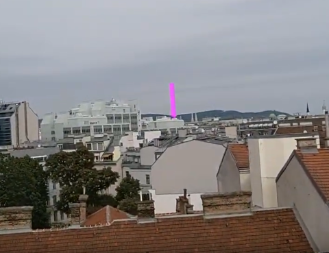
In this talk, I will present selected research from the Spatial HCI Lab which is part of the Geoinformation group at TU Wien. The spectrum of work ranges from exploring geo-data on public displays to geographic-aware augmented reality and automated recognition of states of spatial cognition. The main part of the presentation will revolve around our efforts in the area of geographic-aware augmented reality. This framework allows us to display geo-referenced objects at their corresponding geo-coordinates, regardless of the user's position. This has a wide range of implications in terms of perception and augmented interaction possibilities. A second thread of the presentation will deal with work on recognizing processes and states of spatial cognition. I will provide evidence that it is possible to classify spatial cognition based on eye movements and/or head movements with very high accuracy. This research forms the basis for personalizing navigation systems.
