

Description
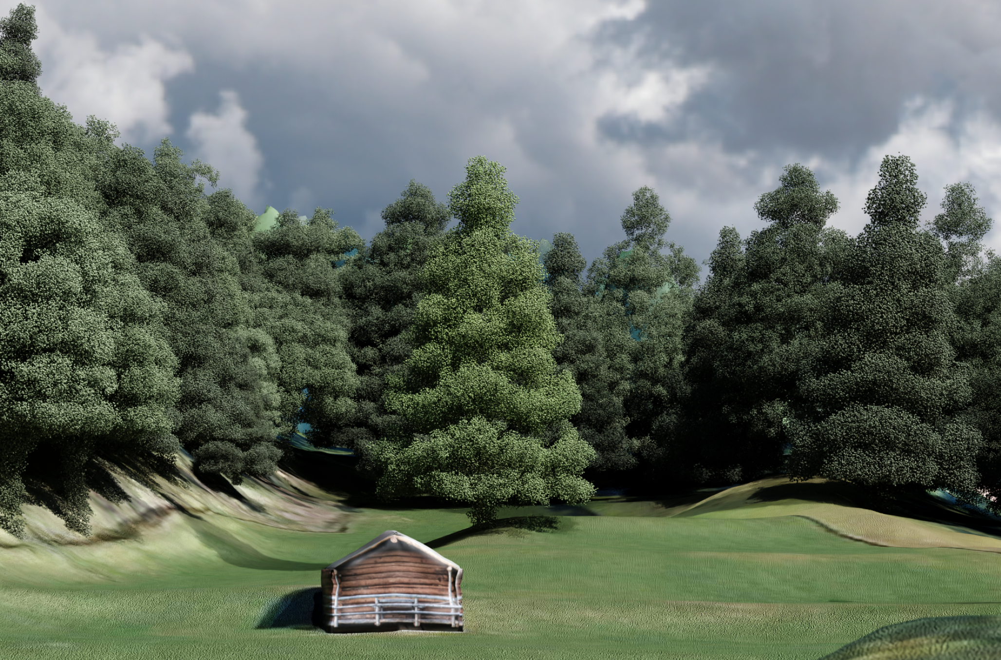
With increasingly detailed digital elevation models (DEMs), it is possible to render 3D terrain with very high resolution. In our weBIGeo project, we explored real-time 3D visualization of big geographic data on the web using the web graphics API WebGPU. At the moment, our weBIGeo renderer only supports 2.5D elevation models. In some situations, we might want to exchange some objects (like huts or trees) with point clouds.
Tasks
In this project, our renderer should be extended with a flexible possibility to smoothly integrate more detailed 3D point clouds of selected objects in multiple levels of detail.
Requirements
- Strong interest in (web-based) visualization and rendering
- Very good programming skills
- Experience with graphics programming (OpenGL, Vulkan, ...) is a big advantage
- Experience with web technologies (WebGPU, WebAssembly, ...) is also advantagaeous
- A good feeling for creating appealing graphics is a plus
- Being excited about mountaineering is definitely also a plus
Environment
The weBIGeo project is based on C++ with Emscripten, WebAssembly, Qt, and ImGui. The concept and implementation is described in more detail in this preprint. The code can be found on GitHub. A first demo version is also online (a current version of Chrome is required).